ГЕОГРАФИЧЕСКИЕ ТЕРМИНЫ
-
Altitude
Altitude is the height of an area, measured from sea level.
-
Antarctic Circle
The Antarctic Circle is an imaginary circle at latitude 66°30' S, around the south pole.
-
Azimuth
An azimuth is the angle that a line makes with a meridian (a line of longitude), going clockwise from north.
-
Cartographer
A cartographer is a map maker.
-
Dolor sit amet
Lorem ipsum dolor sit amet
-
geomorphology
Geomorphology is the scientific field that investigates how landforms are formed on the Earth (and other planets).
-
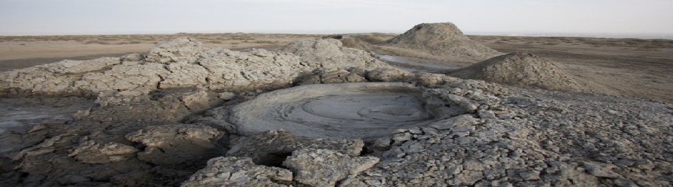
Geyser
A geyser is a natural hot spring that occasionally sprays water and steam above the ground.
|
СЛЕДУЙТЕ ЗА НАМИ

КАЛЕНДАРЬ
ГЕОГРАФИЧЕСКИЕ ТЕРМИНЫ

|
 AZ
AZ EN
EN RU
RU