THERE WAS USED SPHERICAL TRIGONOMETRY BY WHO MADE THE TOPKAPI MAP (IV PART)
![]()
1. Hapgood wrote that, the map was made by an unknown nation and most of maps made in ancient times were gathered and analyzed in the library of Alexandria.
It was necessary to know navigation, spherical trigonometry, astronomy, mathematics, trigonometry, geography and cartography in order prepare such material. Seamen and travelers couldn’t know these fields.
2. Only skilful scientist could combine several maps in the world map. He had to know mathematical and spherical trigonometry. All scientists of the world knew that, the inventor of mathematical and spherical trigonometry was Tusi (not Regiomontanus). I think the original of the map (without the part describing Antarctica) could be made by Tusi. Because, prime meridian was described at 34
0west of the Greenwich Meridian in Maragha Observatory at the end of the 13
thcentury and besides, astronomical catalogue
“Zij Ilkhani” including coordinates of 256 cities from Cordoba to Peking and table of geographical coordinates were made there and later European scientists used these sources.
3. The Turkish admiral’s navy had worked in the Mediterranean Sea and he was in Spain. Was he aware of existence of Columbus’s map?
He could find such map in Istanbul either. As I mentioned above, scientists of Maragha observatory could make several maps describing outlines of America. Nasiraddin Tusi, Muayyidaddin Ordy, Gutbaddin Shirazi and Chinese scientist Fao Mun-Chi could have such maps as they had important posts in the observatory.
Probably, Gutbaddin Shirazi took his map to Alexandria when he went to Egypt as the ambassador of Mongols and afterwards the map was taken to the capital of the Ottoman Empire by means of Turks. It turns out that, Columbus wasn’t aware of existence of the map kept in Istanbul, so, he couldn’t find it.
Then, how and where could the Spanish admiral find “Columbus’s lost map?” I have found only one answer: The Chinese scientist of Maragha observatory Fao Mun-Chi took the map made in the observatory to his motherland in 1267. According to previous chapters, Marco Polo had taken that map to Italy. It was kept in the library leaded by Toscanelli in Florentine and Columbus got acquainted with it there.
4. How were outlines and coordinates determined? It is known that, mentioned map was made in accordance with several manuscripts. I’ll describe history of the part describing the north of Antarctica.
The sensational conclusion of Charles Hapgood about the map was as following: “Latitudes of well-known islands located near Antarctica were described on the map in detail. Probably, those results were achieved in accordance with an older map made by using modern spherical trigonometry. It is obvious that, authors of the map knew that, the Earth was spherical and they knew the Earth’s length with 50 miles error.”
I think that, Columbus had sent the map to Italy, his native town Genoa or to the public library of Florentine by means of the trustiest herald as soon as he returned from the travel. But the map couldn’t reach its address of destination. Piri Reis controlled great part of the Mediterranean Sea and often attacked vessels of Spain, Portugal, France, Genoa, Venetia and Vatican during that period. As it was mentioned above, the map was taken by Turks when it was sent from Vatican to Italy in 1505. So, the map couldn’t reach its address of destination. I think that, the Turkish admiral had found the map, which was used by Columbus during his first travel, in this way.
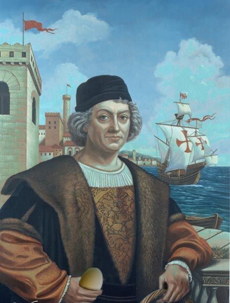
 Columbus prepares for his second travel
Piri Reis’s map proves that, such maps were known even before the age of Isgandar. Were those maps used in travels resulted in significant geographical discoveries?
According to Ch. Hapgood, mentioned map described the world by means of ancient outlines. First of all, continents had been described on different maps and then all maps had been combined on one pergament. Such work could be carried out by N. Tusi only. Locations of continents and coordinates had been determined precisely as spherical trigonometry had been used for this purpose. Because of Piri Reis did not know this part of scince, with joining various scale maps, he was not be able to show the west part of the Earth on parchment in common scale. Employees of Maragha Observatory were experts in spherical trigonometry and so, it is convincing that, the map was made there.

20273